Red Sea, Egypt
2023 - Ongoing
3D Photogrammetry, AI Analysis
Red Sea Research Center
Phase 2 - Expansion
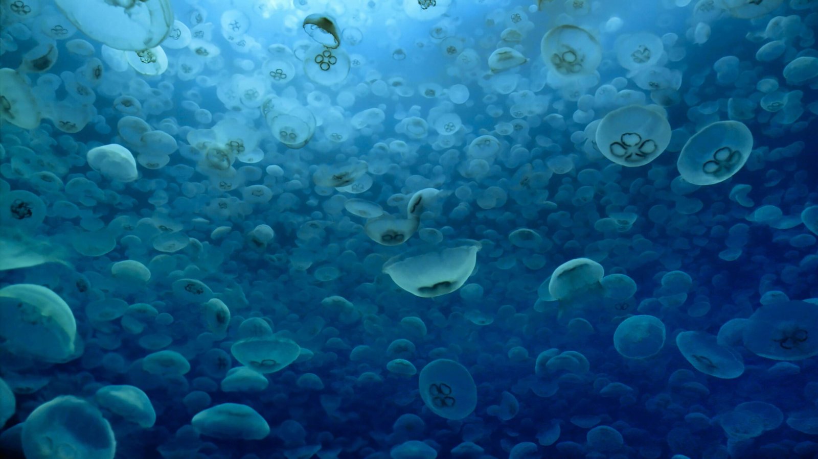
The Red Sea hosts some of the world’s most heat-resistant coral reefs, making it a critical region for understanding coral adaptation to climate change. Our photogrammetry program creates detailed 3D reconstructions of reef structures, enabling unprecedented tracking of coral growth, bleaching events, and ecosystem recovery.
Using specialized underwater cameras and advanced processing software, we capture thousands of overlapping images to build millimeter-accurate 3D models. These models serve as permanent digital records, allowing scientists to monitor changes over months and years without disturbing the living reef.
The program integrates with marine protected area management, providing decision-makers with quantitative data on reef health and informing conservation strategies across the Red Sea region.
Establish comprehensive 3D baseline records of 25 priority reef sites across the Red Sea, creating a permanent digital archive for future monitoring and research.
Monitor temporal changes in coral cover, reef structure, and biodiversity through annual photogrammetric surveys, detecting early signs of degradation or recovery.
Study coral adaptation mechanisms and identify heat-resistant genotypes that could inform reef restoration efforts in other regions facing climate threats.
Train local marine scientists and conservation practitioners in photogrammetry techniques, ensuring long-term sustainability of monitoring efforts.
Make 3D models and analysis publicly available to the global scientific community, advancing collective understanding of coral reef ecosystems.
Provide evidence-based data to support marine spatial planning, MPA designation, and adaptive management strategies in the Red Sea region.
Priority sites are identified in collaboration with local marine authorities and research institutions. Survey grids are designed to capture representative areas of each reef type, with consideration for depth, accessibility, and conservation significance.
Divers equipped with high-resolution cameras systematically photograph reef sections following predetermined swim patterns. Each area is captured from multiple angles with 70-80% image overlap to ensure accurate 3D reconstruction. Dive teams collect 2,000-5,000 images per site.
Images are processed using structure-from-motion (SfM) photogrammetry software. The workflow includes image alignment, dense point cloud generation, mesh creation, and texture mapping. Ground control points and scaling references ensure geometric accuracy.
Completed 3D models are analyzed to extract quantitative metrics including coral cover percentage, colony dimensions, rugosity (structural complexity), species identification, and bleaching extent. AI-assisted tools accelerate annotation and classification.
Annual resurveys enable direct comparison of 3D models over time. Change detection algorithms quantify coral growth, mortality, bleaching events, and structural changes. Results are compiled into scientific reports and shared with conservation stakeholders.
All 3D models, raw imagery, and analysis data are archived in cloud repositories with permanent identifiers. Datasets are made available through open-access platforms, enabling global research collaboration and meta-analyses.
High-resolution 3D reconstructions of 25 reef sites, each covering 500-2,000 m². Models achieve sub-centimeter accuracy and include detailed texture mapping showing individual coral polyps.
12 peer-reviewed research papers published in leading marine science journals, documenting coral resilience patterns, growth rates, and methodological innovations in reef monitoring.
Publicly accessible archive containing over 150,000 georeferenced reef images, 75 3D models, and associated metadata. Downloaded by 200+ researchers across 45 countries.
8 capacity-building workshops conducted for 120 regional marine scientists, covering photogrammetry field methods, processing workflows, and data analysis techniques.
Annual reef health assessments provided to Egyptian Environmental Affairs Agency and Red Sea Governorate, informing marine spatial planning and tourism management decisions.
Interactive 3D reef tours developed for schools and aquariums, reaching 50,000+ students and raising awareness about Red Sea coral ecosystems and climate adaptation.
Covering 18,000 m² of reef habitat
Creating comprehensive 3D archives
Sub-centimeter accuracy
In monitored resilient zones
Across 45 countries globally
Published in peer-reviewed journals
In photogrammetry methods
Informed by program data
Lead Scientific Partner
Provides field expertise, diving support, and long-term ecological data integration. Co-leads site selection and survey planning.
Government Partner
Issues research permits, facilitates access to marine protected areas, and integrates findings into national conservation policy.
Technology Partner
Provides photogrammetry equipment, processing software licenses, and technical training for 3D reconstruction workflows.